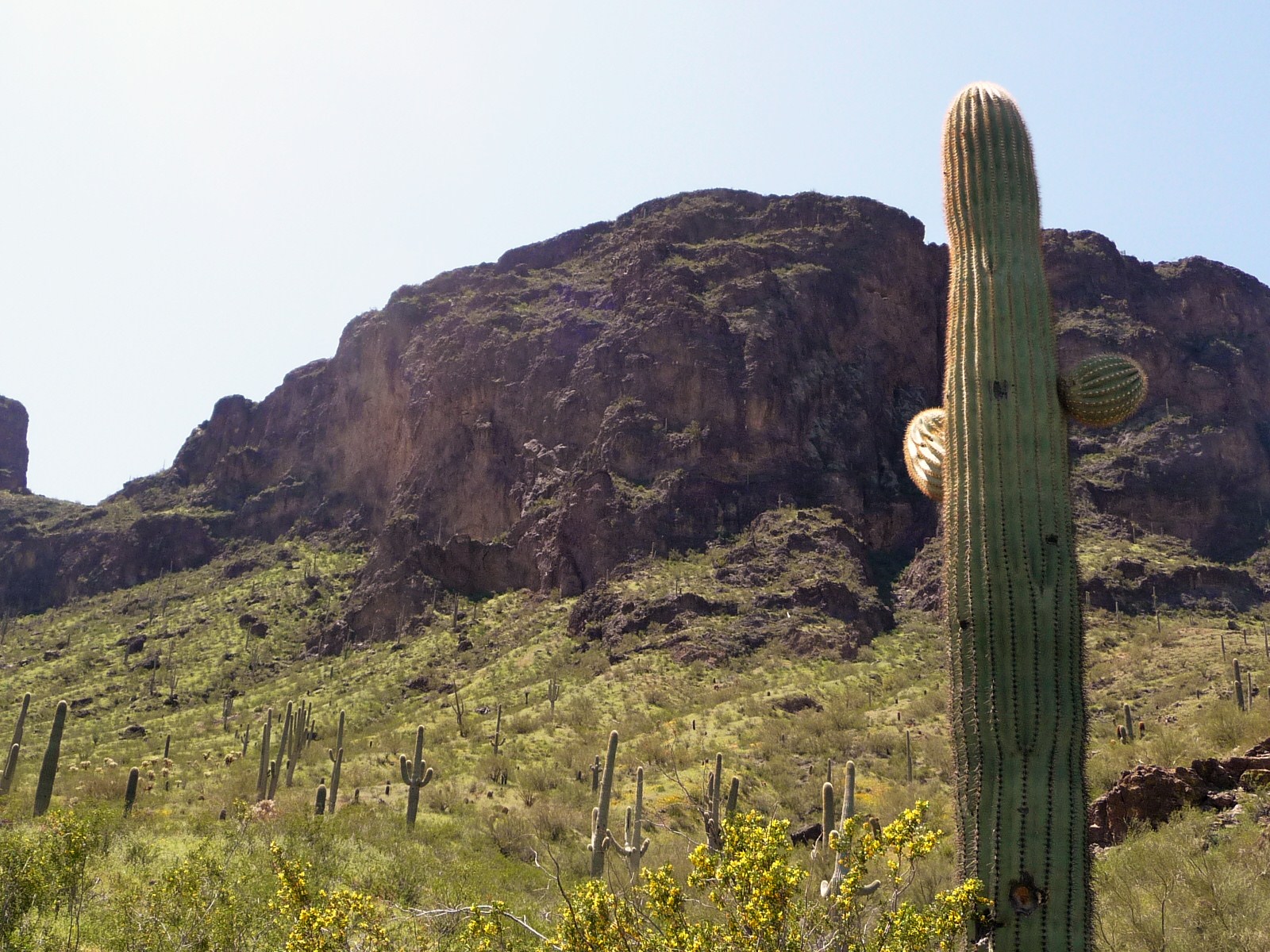


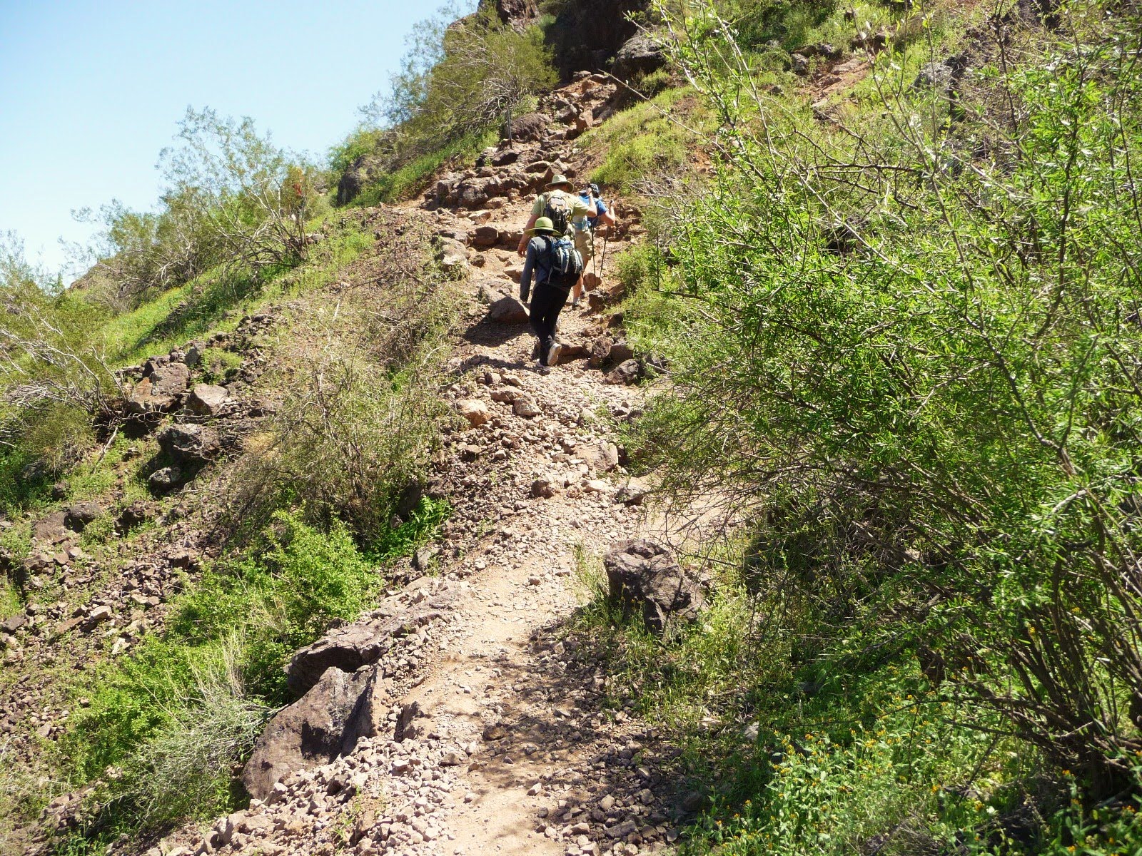


Most of what this sign says: Picacho peak has been a navigational landmark throughout history......(not readable) early explorers such as Father Kino and Juan Batista Anza in 1932 a 40 foot light becon was installed at the top of the peak for air traffic navigation. Hunter trail on the south side of the peak was built by the Civil Engineer Corps to facilitate servicing the becon which was dismantled in 1965. When Picacho Peak was dedicated as a State Park in 1968, the second phase of Hunter trail was built beginning on the North side, crossing the saddle, connecting with the first phase.
The elevation of the Peak is 3, 374 feet. If you are in the Saddle which is approximately 2,960 feet in elevation. Picacho peak rises .......from the desert floor (can't read that part)


2 hikers at the very top!


The white "dots" are HIKERS!

Ok, hope you can see these ok!
AND A BONUS


MAP at the Park

Thanks for taking us on your hike! I loved the pics. The topography is so different from what we have here in Montana. Our hills and mountains still have quite a bit of snow covering them yet.
ReplyDeleteHow great you're a hiker. I hope to go on some hikes this summer. It's something I've avoided because the extra weight I carried for years made it very uncomfortable. Shedding weight and getting fit will change all of that. Hugs, Rita